Forest monitoring
I'm working on monitorting the behaviour of trees from aerial imagery. This project is currently in progress.
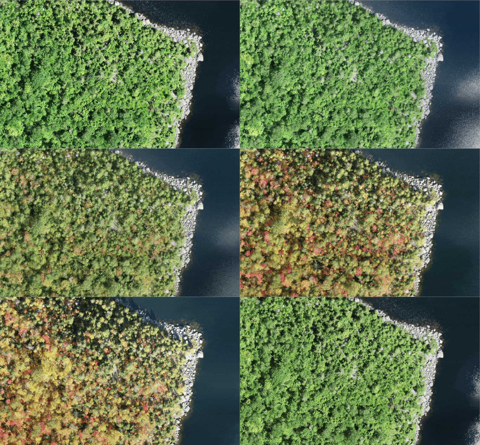
This is an ongoing project where the goal is to map the trees and identify which class the species belongs to. There are 22 different species of trees and each of them exhibit different behaviour throught the year. If we can map the trees well enough, we can figure out when which species change from a sink to source of carbon dioxide.

An animation of some sample images from the dataset from multiple dates.